The Inca Trail is one of the most famous hikes in the world. It will take you along ancient narrow paths deep into the Peruvian countryside and high into the Andean mountains. See perfect Incan ruins, cloud forest, and majestic valley views, ultimately leading to perhaps the greatest end-point of any multi day hike on earth, the iconic Machu Picchu Citadel, one of the New 7 Wonders of the World.
The Classic Inca Trail is a well-established and iconic 4-day, 3-night hike which leads travellers from km82 (the start point) all the way to Machu Picchu via its exclusive Sun Gate (also called Inti Punku).
The total journey is around 42 km (26 miles) not as long as people typically expect. However, a good portion of this includes steep and narrow Andean Mountain paths, some at relatively high altitudes. So by no means is it easy, but it´s definitely worth it! If the 4 day classic Trail is not for you, there are different versions of the Inca Trail that are less intense and strenuous (for example a 1 day or 2 day trek).
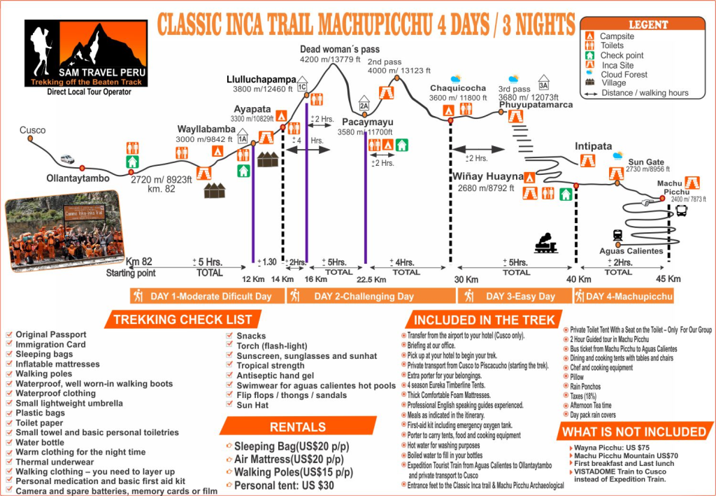
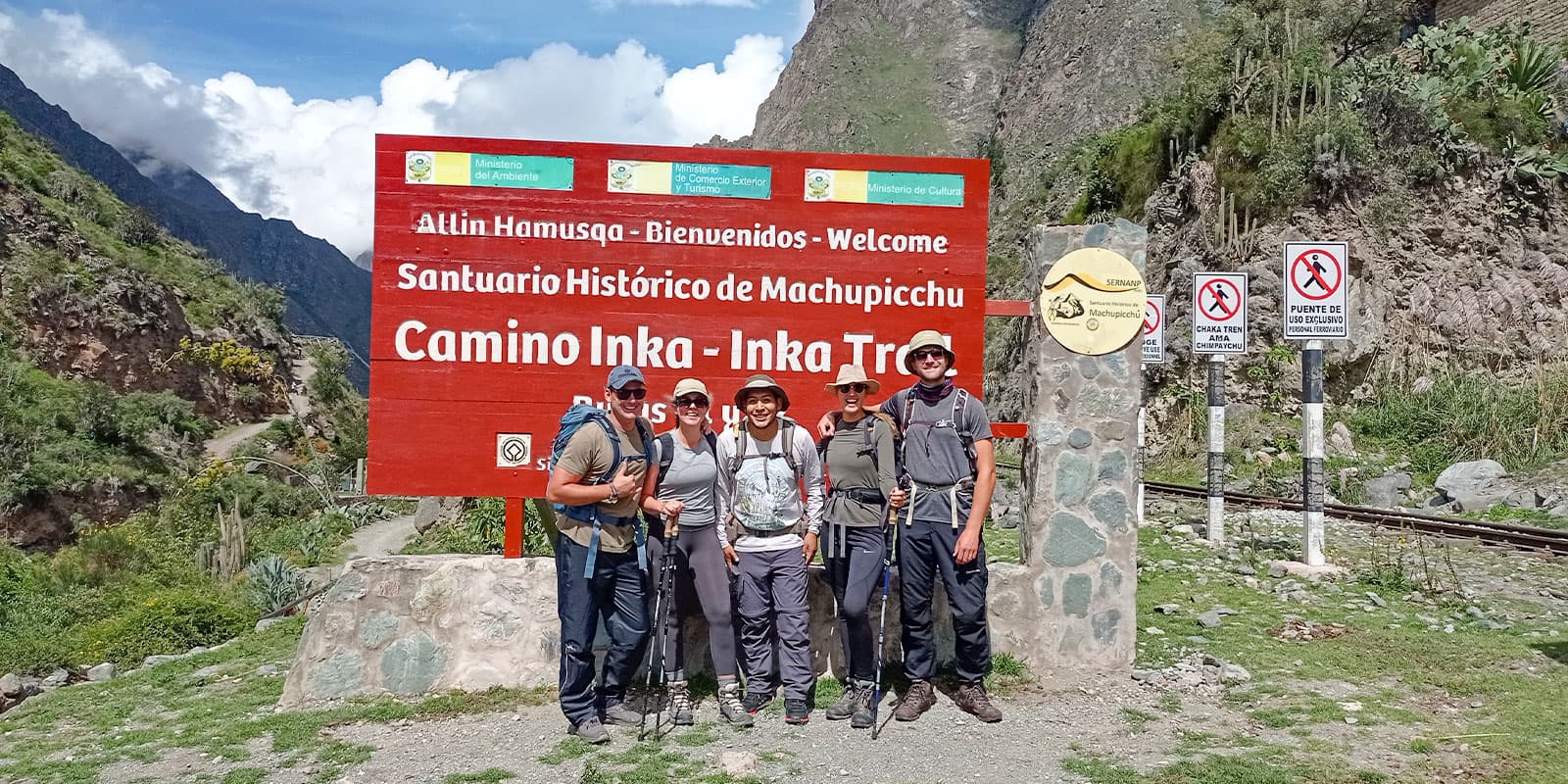
Starting Point: The trek starts at Km 82, which is a small town called Piscacucho, located along the Urubamba River.
Day 1:
Km 82 to Miskay: This is a relatively easy section of the trail, passing through beautiful Andean landscapes and small settlements. At the start of the trek, cross the Urubamba River and see the Inca ruins of Llactapata.
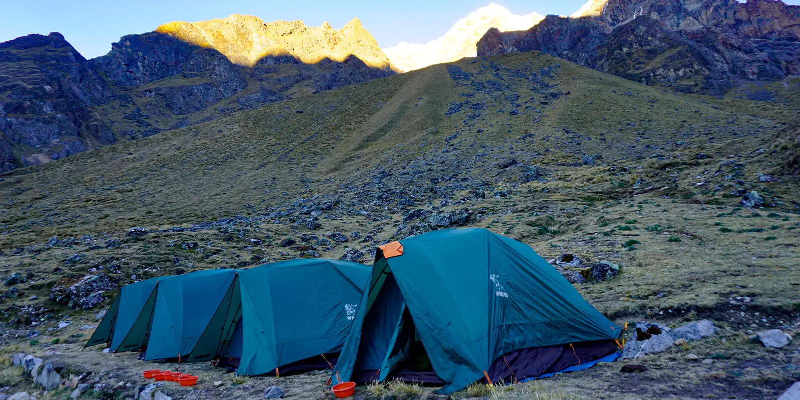
Miskay to Wayllabamba: This is a more challenging section of the trail, as it includes a steep uphill trek. Along the way, admire the stunning views of the surrounding valleys and mountains. Arrive at the small community of Wayllabamba, where you will spend your first night camping.
- Walking Distance: 7.4 mi (12 km)
- Gradient: Moderate
Day 2:
Wayllabamba to Dead Woman’s Pass: This is the most challenging section of the trek, climb to the highest point of the trail, Dead Woman’s Pass (Warmiwañusca in Quechua), at an elevation of 13,780 feet (4,200 meters). The trail is steep and narrow, but the views from the top are stunning.
Dead Woman’s Pass to Pacaymayo: This section of the trail descends steeply through cloud forest, passing through several small settlements before arriving at the second campsite, Pacaymayo.
- Walking Distance: 6.8 mi (11 km)
- Gradient: Challenging
Day 3:
Pacaymayo to Phuyupatamarca: This section of the trail includes several steep uphill and downhill sections, passing through several Inca ruins along the way, including the impressive ruins of Runkuracay and Sayacmarca. The trail also passes through a beautiful cloud forest.
Phuyupatamarca to Wiñaywayna: This is the final section of the trail, pass a waterfall before a steep descent to Wiñay Wayna, another impressive Inca ruin waiting to be explored. Wiñaywayna is the last campsite and usually the hikers will say good bye to the porters.
- Distance: 10 mi (16 km)
- Gradient: Moderate
Day 4:
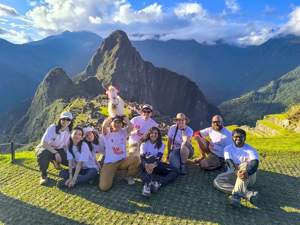
Wiñaywayna to Machu Picchu: Early wake up and then the trail continues to Inti Punku, the Sun Gate, where you will get your first view of Machu Picchu. Later, descend to the citadel, where you will have a guided tour of Machu Picchu Inca city.
- Distance: 3.7 mi (6 km) to Machu Picchu
- Gradient: Moderate